
The Cumbre Vieja volcano sits on the western flank of La Palma in the Canary Islands. It last erupted in 2021. During that eruption, the western slope of the island didn't collapse. But geologists have been watching that slope for decades, because a chunk of it, roughly 500 cubic kilometres of rock, is slowly sliding toward the Atlantic Ocean.
If it goes all at once, the splash generates a mega-tsunami.
And the UK is directly in its path.
How a landslide becomes a wave
When half a volcanic island drops into the ocean in a single event, the water doesn't just ripple. It's displaced violently. The initial wave near La Palma could reach 600 metres in height. That's taller than the Shard.
This wave can't sustain that height across an open ocean. Water depth, dispersion, and energy loss over distance bring it down substantially. But substantially down from 600 metres still leaves you with something terrifying on the other end.

A 2001 study by Steven Ward and Simon Day modelled the scenario. Their estimates put the wave height arriving at the UK coastline somewhere between 7 and 30 metres, depending on which part of the coast you're standing on, the exact volume of the collapse, and how the wave refracts around obstacles. The west-facing coasts of Cornwall, Devon, Wales, and western Ireland would take the brunt. The east coast would be partially shielded by the landmass itself.
Thirty metres of water arriving on a coastline is not a wave you watch from a cliff. It's a wave that takes the cliff.
The warning window
The one mercy is speed. Tsunamis in open ocean travel fast, around 700 to 800 km/h, but the Atlantic is wide. La Palma to Cornwall is roughly 2,800 kilometres. That gives somewhere between four and five hours of warning from the moment of collapse to the moment of impact on the UK's southwest coast.
London gets perhaps six hours, depending on how the wave channels through the English Channel. The Channel acts as a funnel, and the shallow water forces the wave upward as it compresses. This is not good news for anyone on the south coast.
Four hours sounds like a lot. It isn't.
What four hours actually looks like
The UK has no tsunami warning sirens. There's no established protocol for mass coastal evacuation. The Environment Agency handles flood warnings, but their systems are built for storm surges and river flooding, not for a wall of ocean travelling at the speed of a commercial aircraft.
Assume the collapse is detected immediately by seismic monitoring. Assume the warning reaches the UK government within 30 minutes. That's optimistic, but let's be generous. Now you have roughly three and a half hours to evacuate every person from every coastal settlement in Cornwall, Devon, Pembrokeshire, and the Bristol Channel.
Cornwall's population is about 570,000. In August, with tourists, it could be closer to a million. The A30 and A38 are the only major roads out, both single carriageway for significant stretches. On a normal summer Saturday, the A30 past Bodmin is already gridlocked by noon.
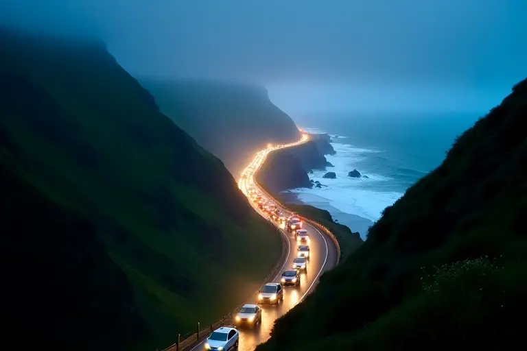
You're not evacuating Cornwall in three hours. You're not evacuating Newquay in three hours. The maths simply doesn't work. There aren't enough roads, and the ones that exist point in the wrong directions.
What the water does when it arrives
A tsunami is not a breaking wave. It's a sustained surge. The ocean rises and keeps rising, pushing inland for minutes. Then it retreats, dragging everything it collected back out to sea. Then it comes again, because tsunamis arrive in trains of multiple waves, and the first is rarely the largest.
A 10-metre surge on a flat coastline like parts of North Devon pushes water several kilometres inland. It carries cars, boats, trees, buildings, and debris from everything it's already destroyed. The retreating water is often more destructive than the initial surge because it concentrates all that debris into channels and river mouths.
The Bristol Channel is where the geometry turns properly nasty. It's a natural funnel, narrowing from about 85 kilometres at its mouth to less than 10 kilometres at the Severn Estuary. A wave entering the wide end compresses as it travels up the channel. Heights that were manageable in the open Atlantic amplify dramatically. The Severn already has one of the highest tidal ranges in the world (14 metres at spring tides). Add a tsunami on top of that and the water has nowhere to go but up and over.
Cardiff, Newport, Bristol, and every town along the Severn Estuary sits at very low elevation. The M4 motorway runs within a few kilometres of the coast for much of South Wales.
The reality check
Not all scientists agree the Cumbre Vieja scenario would be this bad. Subsequent studies, including work by the Geological Society of London, have argued that the flank is more likely to collapse in stages rather than a single catastrophic failure. A staged collapse produces smaller waves. Possibly much smaller.
The 2001 Ward and Day paper has been called a worst case. Other modelling suggests Atlantic waves reaching the UK could be closer to 1 to 3 metres, which is a serious coastal flood event but not the civilisation-ending disaster of the higher estimates. The uncertainty range is enormous, and that uncertainty is itself part of the problem.
Because here's the awkward truth: we don't know which estimate is right, and we have no way to find out until it happens. The flank could collapse tomorrow. It could hold for another ten thousand years. It could slip gradually and produce nothing more than a slightly unusual tide. There is no historical precedent for this specific scenario at this specific location.
What we've done about it
The UK participates in the NEAMTWS (North-Eastern Atlantic, Mediterranean and Connected Seas Tsunami Warning System), coordinated by UNESCO. The Met Office operates the UK's national tsunami warning capability, and monitoring stations track seismic activity around the Canaries continuously.
But warning and preparation are different things. Warning means someone in an office knows a wave is coming. Preparation means the population knows what to do about it. Japan, which experiences tsunamis regularly, has sea walls, evacuation towers, marked escape routes, and public drills. The UK has none of these. There has never been a national tsunami evacuation drill. Most people in Cornwall probably couldn't tell you their elevation above sea level.
The Boxing Day tsunami of 2004 killed 227,898 people across the Indian Ocean. Indonesia had no warning system. Sri Lanka had hours of warning for some coastal areas but no way to communicate it to villages. The waves arrived and people were standing on the beach watching the ocean recede, not understanding what that meant.
We'd like to think we'd do better. We'd have the warning. We'd have the technology to push alerts to every mobile phone in the affected area. But technology doesn't widen the A30. It doesn't add lanes to the M5. It doesn't move a million people uphill when the hills are thirty miles inland.
Four hours. That's the number that matters. Everything else is just arguing about how big the wave would be while ignoring that we've built no way to get out of its path.